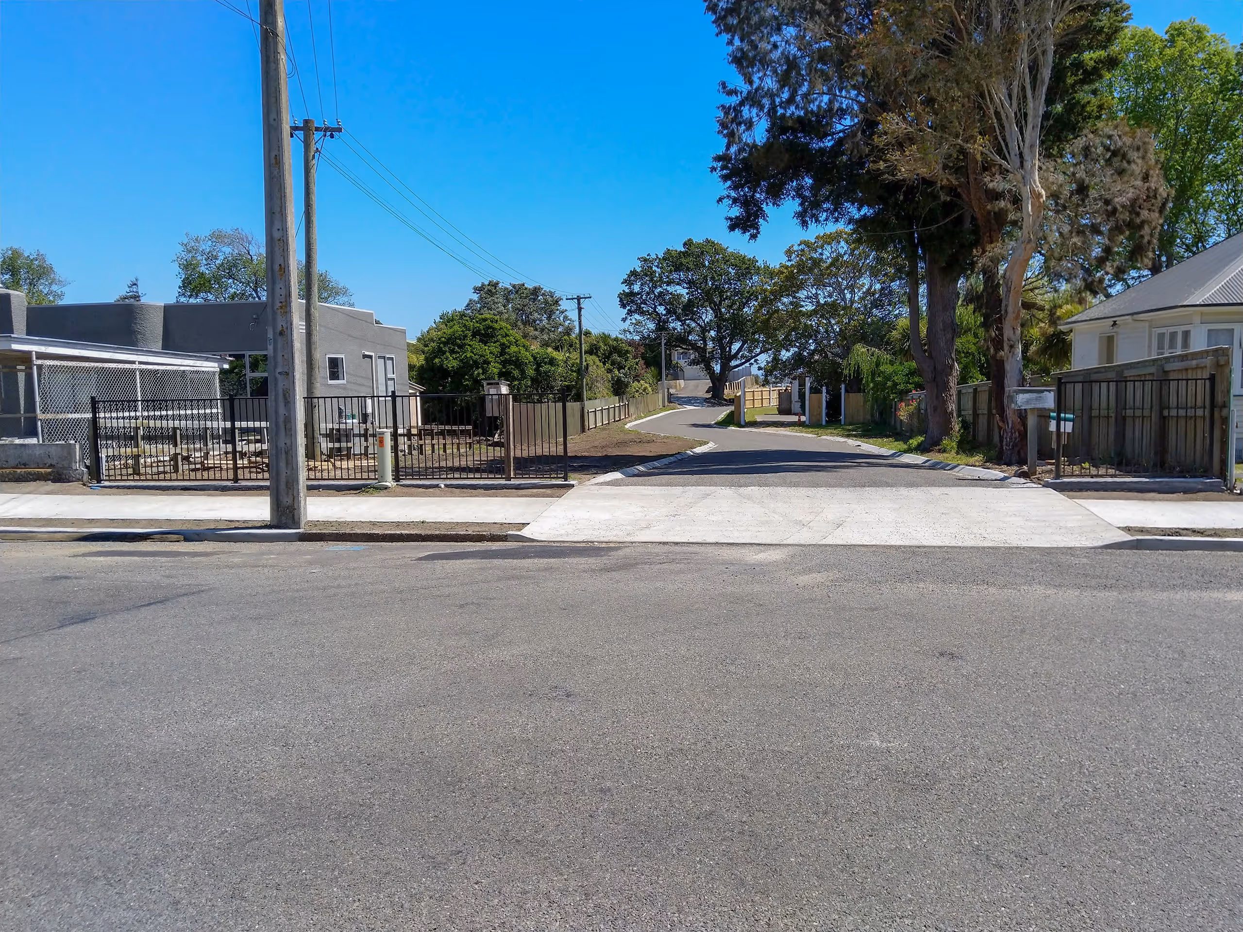
Topographical and site surveys provide detailed data about land features - such as terrain, structures, vegetation and utilities - offering critical insights for planning, design and development. This information forms the foundation for effective design strategies and helps confirm the feasibility of proposed works.
In recent years, 3D ground models have become especially valuable for architects, particularly in residential design. Local authorities also commonly require topographical surveys to verify the relationship between new buildings and property boundaries. By delivering an accurate, visual representation of the site, our surveys help prevent construction issues and ensure compliance with council planning and zoning regulations.
We document the exact locations and dimensions of constructed features, verifying compliance with design plans. These surveys provide an accurate record of the completed works, essential for future maintenance, locating, or legal documentation, ensuring that what is constructed matches the intended design.
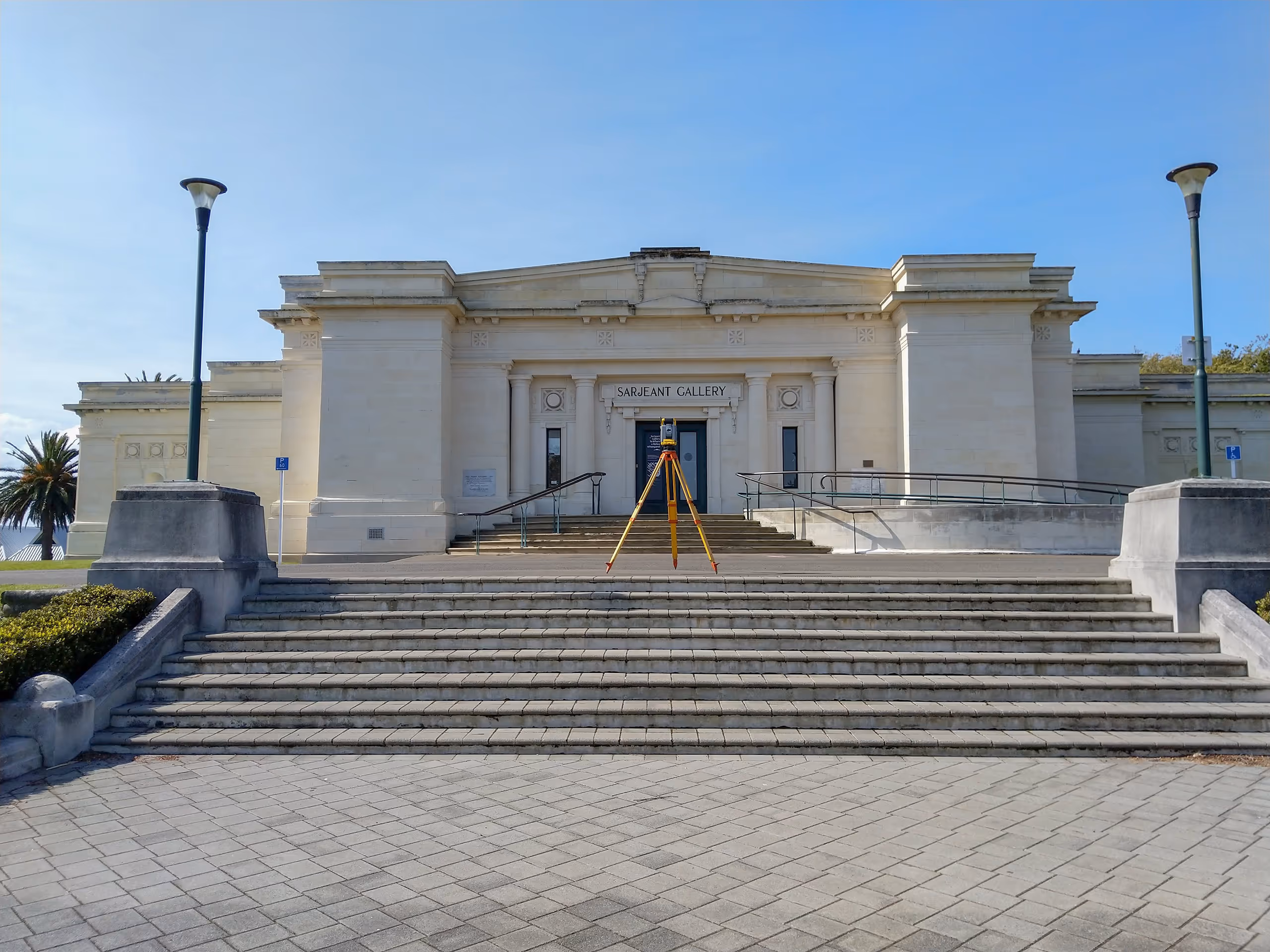
Council regulations define maximum height planes to control how high a building can be in relation to its boundary, helping to prevent overshadowing and privacy issues between neighbouring properties. HIRB surveys measure the building height and setback from the boundary, comparing these measurements to the boundary elevations to ensure compliance with local council rules.
Our team provides setout and siting certifications, ensuring that structures are positioned correctly on-site according to approved plans. This service is crucial for aligning construction with design intentions, preventing costly errors that may arise from assumptions, such as relying on fences to be the boundary when, in many cases, they are not accurately placed. Setout and siting certifications ensure that buildings, foundations, and other structures are correctly located within their allotted spaces, avoiding potential conflicts with property boundaries and local planning regulations.
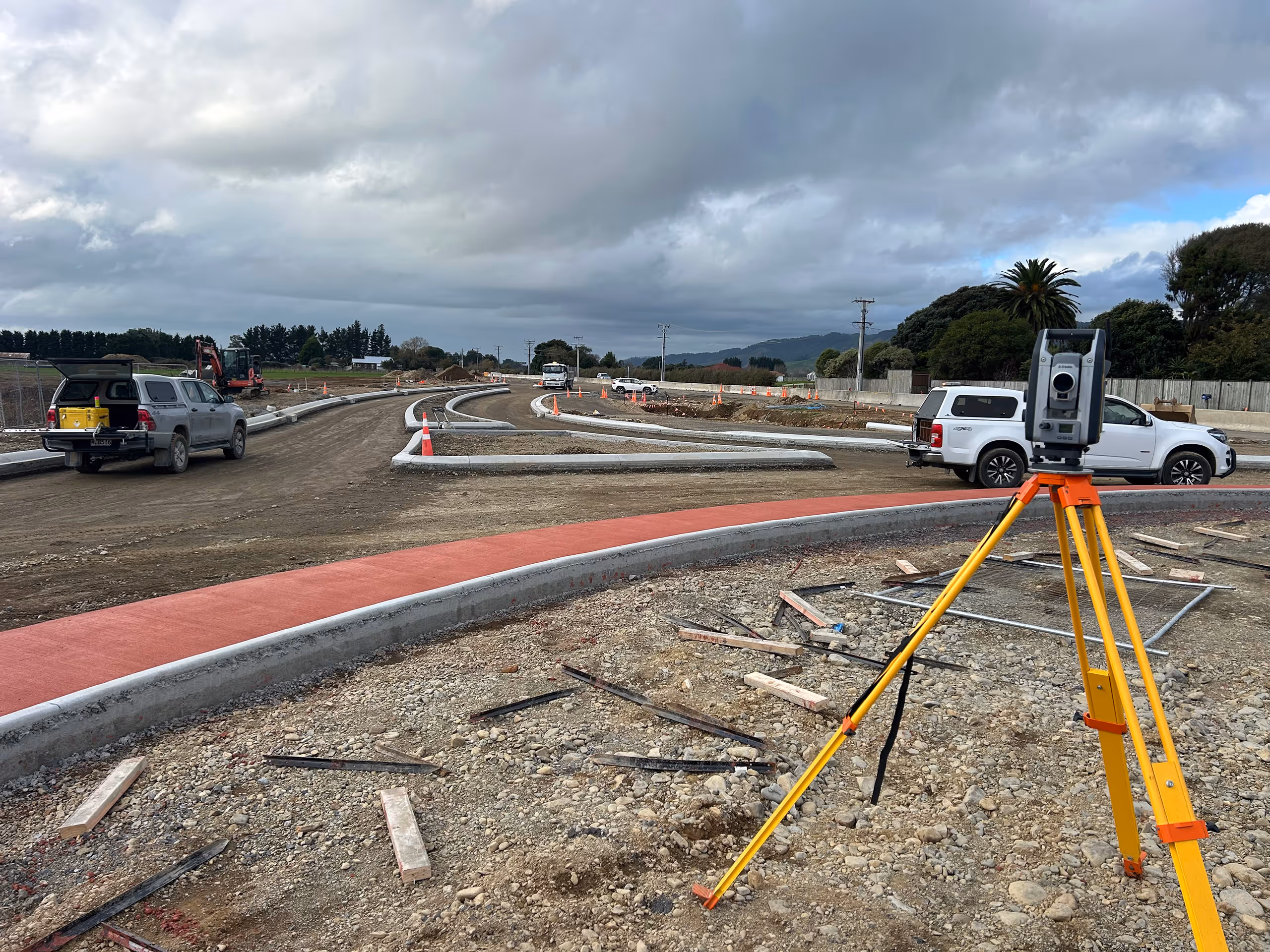
Through innovative aerial photography or by utilising advanced drone technology we can capture high-resolution aerial data for efficient and accurate mapping. This method allows for rapid data collection over large areas, producing detailed orthophotos and 3D models that support planning, design, and monitoring activities. Aerial and drone surveys are particularly useful for quantifying volumes such as stockpiles or earthworks and mapping extensive areas quickly providing 3D models and up to date georeferenced aerial photos.
Monitoring surveys are primarily used to detect land instability and/or structural movements over time, ensuring the safety and integrity of buildings and infrastructure. By regularly measuring and analysing positional changes, we identify potential issues early, allowing for proactive maintenance and risk mitigation, safeguarding both property and people.
Laser scanning is a highly accurate and efficient method used to capture highly detailed and accurate 3D data of a physical areas. The resulting data, known as a point cloud, provides a highly detailed, three-dimensional map that can be used for a variety of purposes, such as design, as-built, and infrastructure monitoring.
Laser scanning is particularly useful for complex or large-scale projects where traditional survey methods might be time-consuming or impractical. It can quickly capture detailed information in difficult-to-reach areas, reducing the need for physical access and minimising the potential for human error. The high level of accuracy and speed makes laser scanning ideal for applications like as-built surveys, heritage preservation, Unit titles, Rentable Area Surveys / BOMA, and monitoring.