Subdividing land is simple with the right team. At A&C Surveys, we make the process seamless—from preparing and submitting your resource consent application to completing the land transfer survey. We define and position new boundaries, mark them on-site, and prepare the final title and survey plans for council certification and LINZ lodgement.
Refers to the division of land within a city or town into smaller parcels for residential, commercial, or mixed-use development. This process typically involves the creation of multiple titles from a single property, allowing for more efficient land use in urban environments.
Involves the division of land in rural or agricultural areas, often with larger lot sizes. The goal is to create new lots while considering factors such as access, environmental impact, and the preservation of productive land. Rural subdivisions may require special planning approvals based on the area's zoning and land use policies.
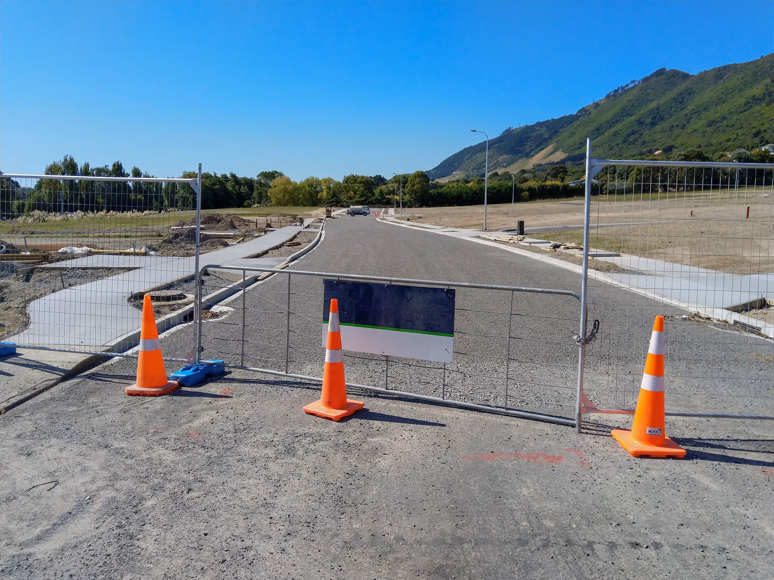
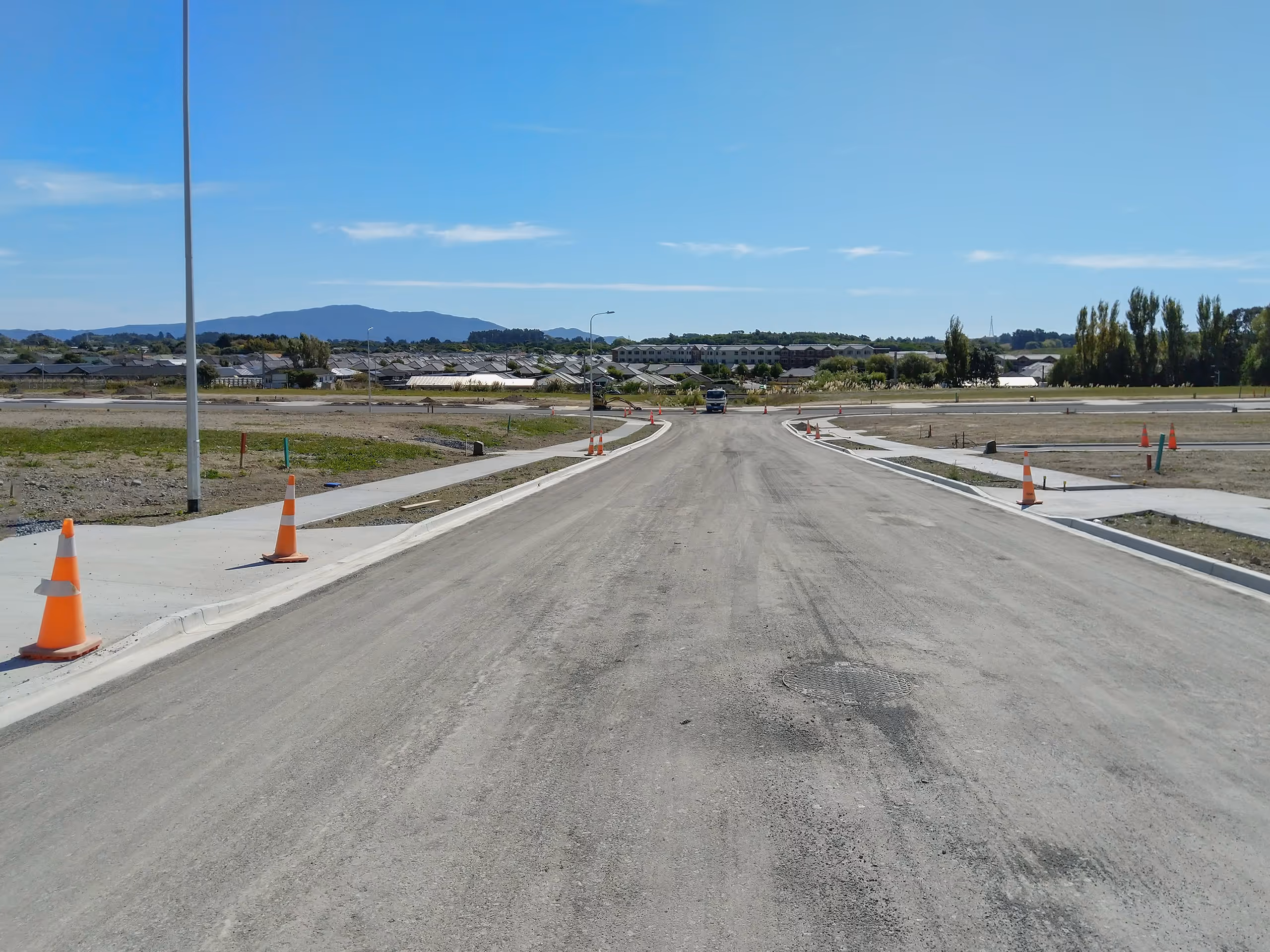
The development of previously undeveloped land into new lots, often for urban expansion. This type of subdivision involves significant planning for infrastructure such as roads, utilities, and drainage.
Greenfields subdivisions are typically part of a broader urban growth strategy.
Boundary surveys are conducted to accurately determine the legal boundaries of a property. These surveys are essential for resolving boundary disputes, positioning new fences, and providing clarity on property limits for development or construction. Surveyors use a combination of historical records, existing marks, and precise measurements to establish the correct boundary lines and monument the position.
Allows property owners to alter the existing boundaries between their land and neighbouring properties without creating new lots. This process is often used to resolve issues such as encroachments or to improve access to a property.
A type of subdivision used for developments with multiple units that share common areas, such as apartment buildings or townhouse complexes. Unit titles provide clear ownership structures where Each unit is given a legal title, while the common areas are jointly owned. We guide clients through the complexities of unit titling, ensuring that each unit is accurately defined and that common areas are appropriately managed, enhancing property value and marketability.

We work with Māori landowners, trusts, and incorporations to provide specialist surveying solutions that support whenua development.
Our team assists with Partition Surveys, which legally divide Māori land into separate parcels so each whānau or owner has a clearly defined area, while still ensuring compliance with Māori Land Court and council requirements. We also support Papakāinga Developments, providing the survey work needed to create whānau-based housing on ancestral land — from defining boundaries to planning infrastructure for shared living.
In addition, we help establish access and easements for shared rights-of-way and services and carry out boundary redefinitions to confirm and protect existing ownership interests.
Legalisation surveys are conducted to create or stop public roads, often for the benefit of local authorities or private property owners. These surveys are crucial for defining new road boundaries or for closing and realigning existing roads. They ensure that the legal process is followed, with the necessary documentation and plans created to support the establishment or cessation of roads. In some cases, private property owners may commission these surveys if they seek to acquire a section of road for their property, often as part of a land development project or access improvement. These surveys require careful attention to legal and regulatory requirements to ensure compliance with local government policies and procedures.
Particularly common in older and undeveloped areas, some Records of Title are limited, meaning the boundaries and dimensions of your property are not guaranteed. This can become an issue when there is a boundary dispute or when designing new buildings, as the structure cannot be accurately positioned in relation to the boundary, potentially causing problems with setback and height compliance. A removal of limitations survey is one of the most complex types of surveys and often requires extensive investigation of the property's historical records to gather enough evidence to define the boundaries and remove the limitations from the Record of Title. By removing these limitations, the marketability and development potential of the land are enhanced, providing property owners with clear, definitive title information.
Easements and covenants are essential legal instruments that define property rights and land use restrictions. We survey and document easements for rights such as access (Right of Way), drainage (Right to drain water and sewage), and utilities (Right to convey water, electricity, and telecommunications). These easements ensure service connections and access rights are legally secured for property owners.Covenants are commonly used to protect areas of significant natural landscape, habitat, or archaeological and cultural sites. They also define restrictions such as height limitations or no-build zones to preserve views and maintain the character of a development. Our team provides precise surveying and documentation to ensure easements and covenants are correctly established, registered, and compliant with regulatory requirements.
These plans are essential for securing council planning approvals. We develop detailed scheme plans that outline proposed developments, including lot layouts, infrastructure, and landscaping.
Subdivision consents are required to divide a parcel of land into smaller lots for development or sale. These consents are granted by the local council and ensure that the proposed subdivision complies with zoning regulations, planning rules, and other relevant laws. Obtaining subdivision consents is a critical step in land development, enabling property owners to create new titles and facilitate development. Our team prepares and manages consent applications, ensuring compliance with local planning regulations.
All conditions imposed on land use or subdivision consents must be satisfied before a project can be completed and signed off. While some conditions are standard for every project, others are specific to the site or the type of development. The number of conditions can vary significantly depending on the scope of the project. For large-scale subdivisions, these conditions can be extensive and require careful management and documentation to demonstrate compliance. Proper management of these conditions ensures that all council requirements are met, preventing delays or issues during the approval process.


